the future of land
Kicking off with good news:
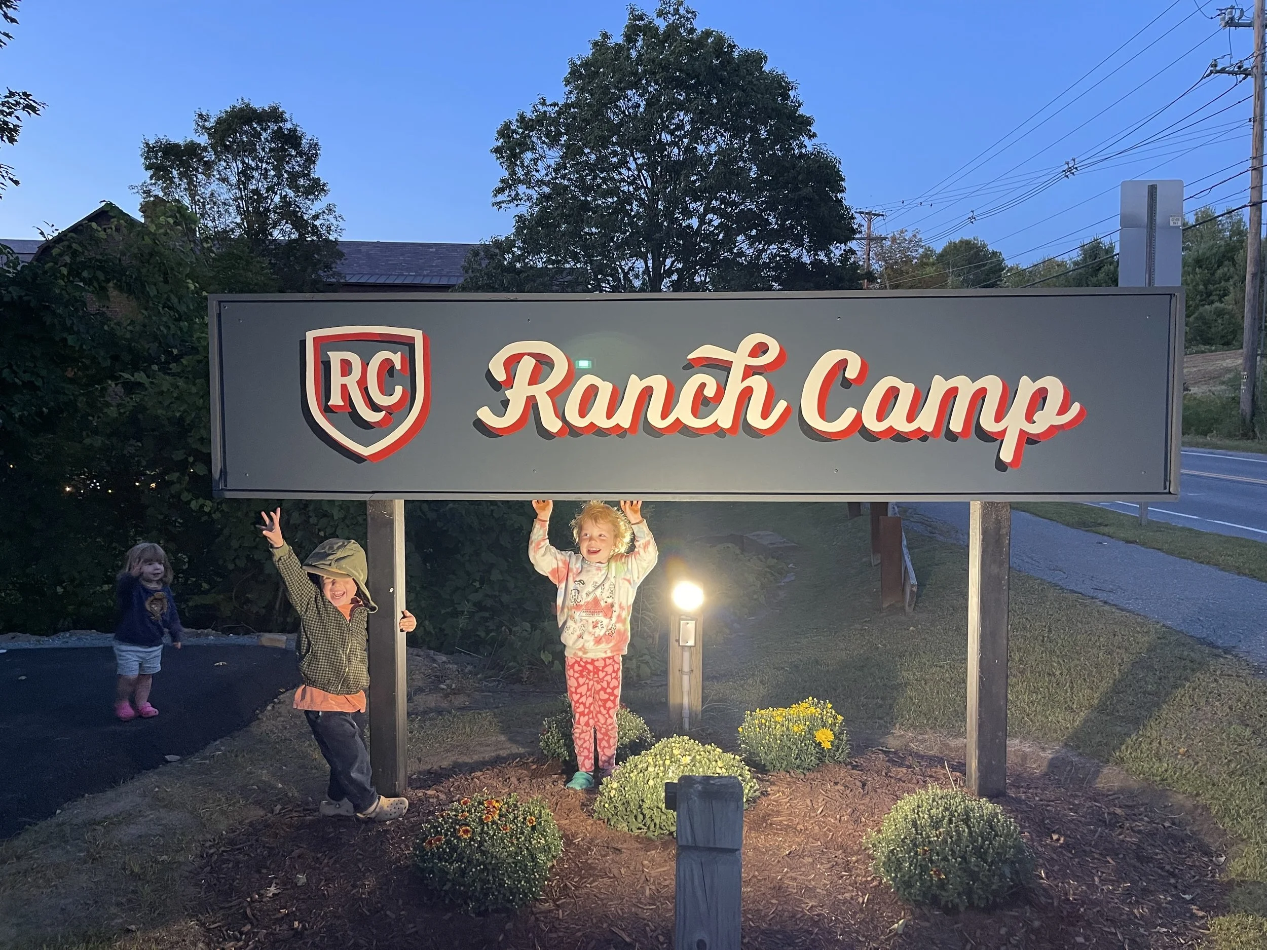
The long-awaited Ranch Camp is now open in the East End! I highly recommend walking there while the weather is so nice. “Viva La East End!” as we have taken to saying in our house.
Ben and Jerry’s is on sale at Mac’s
The new local options sales tax generated more than $350k in the first year. This revenue funds the newly-formed Infrastructure Fund.
The PTO is more than halfway to their fundraising goal of $1500 for a new cafeteria table for Woodstock Elementary (Can we get it done by Friday? Venmo @WESTPVPTO)
We’ve had several board meetings since I last wrote, including the now annual “State of the Stock” where our Town Manager gives an assessment of our collective progress during the fiscal year. It is very much worth a watch, as is last year’s - which some called a “barn burner.”
CDBG-DR (try saying it five times fast)
Sustainable Woodstock and Two Rivers Ottauquechee Regional Commission are leading a grant application, in collaboration with the Town and other organizations like Woodstock Community Trust, for a Community Development Block Grant – Disaster Recovery (CDBG-DR). This is HUD funding available to certain areas of Vermont that experienced flooding during 2023. Specifically, the application seeks funding to study ways to lower flood levels around Riverside Mobile Home Park and protect homes from damage, as well as study potential parcels for relocating the most at-risk homes. Riverside experienced severe flood damage during both Hurricane Irene and Summer 2023.
Many thanks to Jenevra Wetmore and Kyle Katz for their work on this. You can reach out to them with questions: director@sustainablewoodstock.org, kkatz@trorc.org.
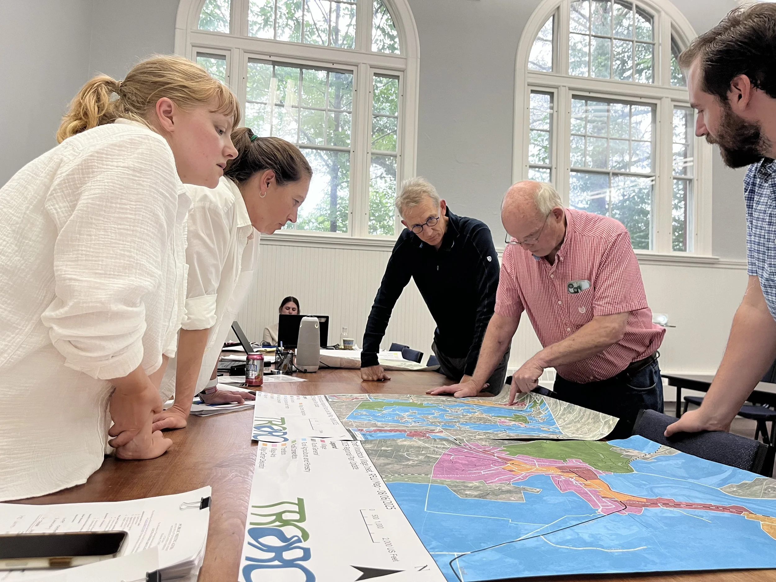
Future Land Use Mapping
At August Planning Commission Meeting, Kyle Katz and Kyle Hansen from TRORC (henceforth known as the The Kyles) kicked off the Regional Future Land Use Map process. The Map guides the regional plan for development and serves as one of the regional standards our Town Plan needs to align with. The first draft put forward by TRORC is available here and can be commented on. And here’s the new language/area designations that all regional plans and maps need to use per Act 181. TRORC is looking for public comments before November 1st.
The Town Plan also features a more specific Future Land Use map for the town, which will be drafted by the Planning Commission as part of the Town Plan revision process we will launch once the Village bylaw review is completed.
The Vondell
Last year, Woodstock residents voted to acquire ~360 acres up Cox District Road known as The Vondell for $1.6M. This land had previously been owned by Woodstock Aqueduct Company and is home to the system’s single water tank, two reservoirs, miles of trails used for recreation like walking, birding, snowmobiling, and, of course, mountain biking.
The bond equates to ~$68 per year for the average Woodstock property owner, for 30 years (each year decreasing as the interest is paid off). This acquisition doubled Woodstock’s landholdings and signified, in my opinion, a deep shift in how we invest in the future of Woodstock.
During the acquisition process, Susan Ford worked with the Vermont Land Trust to investigate if a conservation easement was possible. A conservation easement is a permanent legal agreement between the owner and another body to restrict the use of the land forever. In return for the restrictions, the owner receives a financial reimbursement and/or tax incentives. During the winter, VLT had estimated the reimbursement for the Vondell to be around $750k and we worked with them and TRORC to identify sections the town could exclude from the easement in case voters wanted to reserve some of the land from a perpetual restriction (we decided on excluding less than 40 acres across 3 parcels). About a month ago, VLT came back with an offer for considerably less: $200k, with the option to increase to $550k if the town included the total acreage in the easement. We have also had individuals volunteer to fundraise the balance, should we choose to move forward with either option.
The questions I have are:
How do you want to see this land used?
Does a conservation easement bring you closer to that wish? And if so, what value would you place on it?
Right now there are no plans to change how that land is being used/how it was used when it was owned by the Aqueduct. It is also worth mentioning as we volley between extreme climate events, that the reservoirs were once backup water sources for the system. Additional infrastructure would be required to make either a safe source again, but they hold in excess of 28 million gallons of water. Most of the land is not currently developable.
Let me know your thoughts.